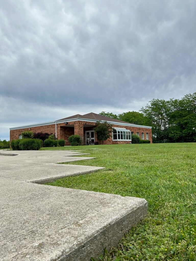
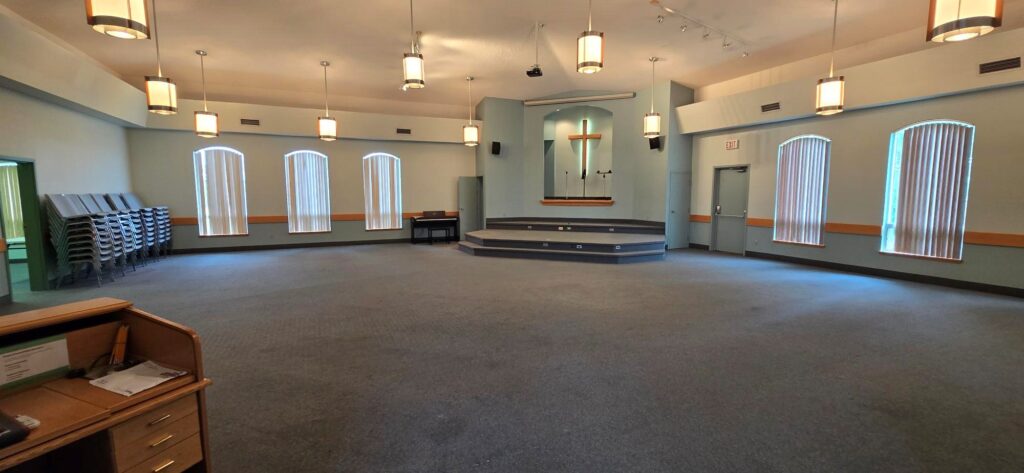
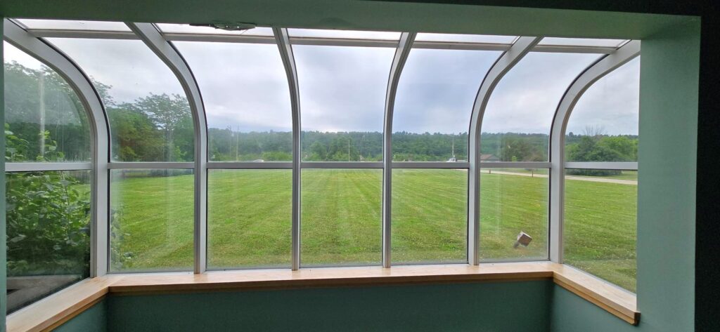
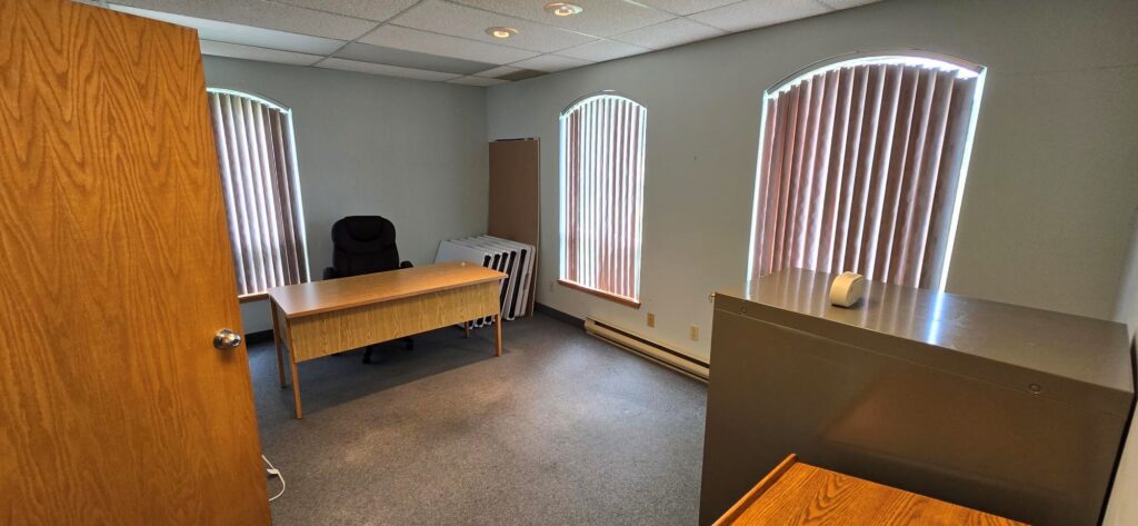
Stoney Creek Community Church
Community: Stoney Creek, ON
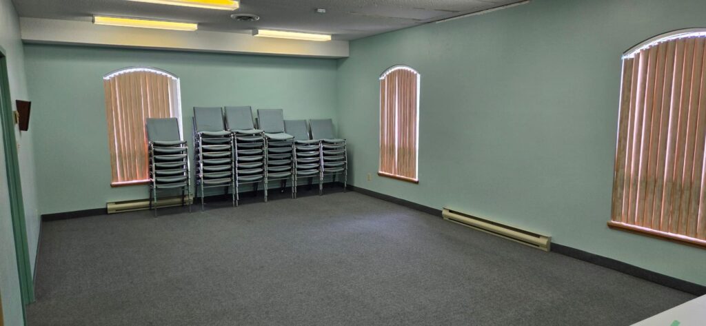
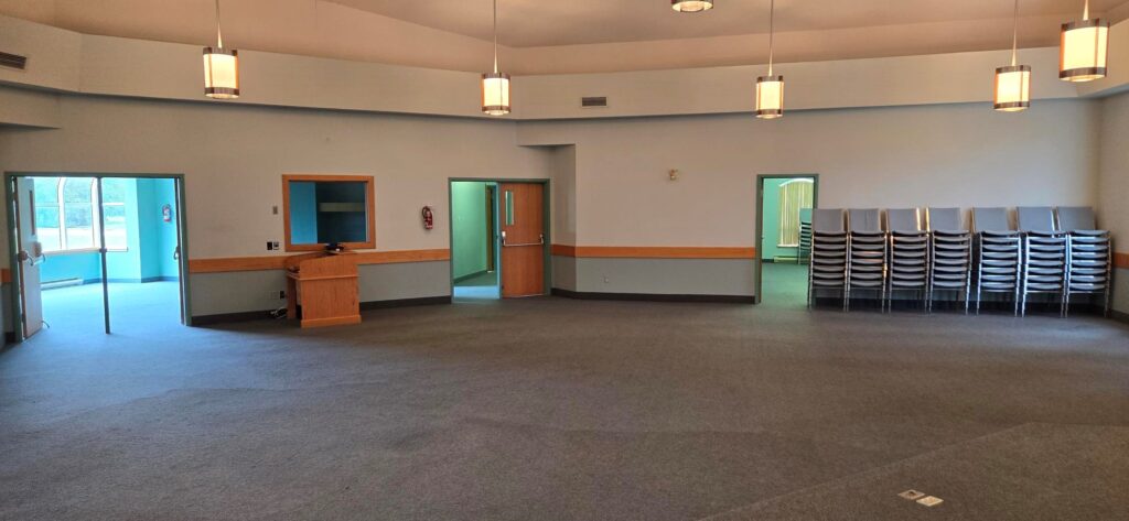
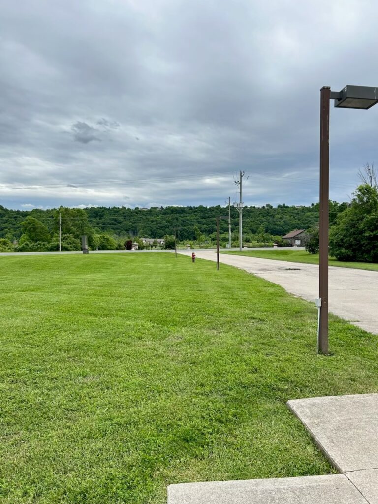
Highlights:
Large parking lot
Plenty of outdoor land for events.
Close Proximity to Queen Elizabeth Way


Stoney Creek, Ontario
Stoney Creek is a community in the city of Hamilton in the Canadian province of Ontario. It was officially a city from 1984 to 2001, when it was amalgamated with Hamilton, Glanbrook, Ancaster, Dundas and Flamborough to form Hamilton.
The community of Stoney Creek is located on the south shore of western Lake Ontario, east of downtown Hamilton, into which feed the watercourses of Stoney Creek as well as several other minor streams. The historic area, known as the “Old Town”, is below the Niagara Escarpment.
Stoney Creek experienced an increase in residential growth, particularly in the lower city in the 1970s and 1980s, and in the west mountain in the 1990s and 2000s, but most of the land mass of Stoney Creek remains agricultural. The communities of Elfrida, Fruitland, Tapleytown, Tweedside, Vinemount, and Winona serve as distinct reminders of the agricultural legacy of Stoney Creek and Saltfleet Township.[1]
Demographics
According to the 2001 census, the population of Stoney Creek was 59,327 up 5.5 per cent from the 1996 census.[4] Children under 14 years of age totaled 19.4% while those in retirement age constituted 12.6% of the total population. Some 25.94% or a quarter of the population was foreign born. The census showed that Stoney Creek was 92.72% white (European), of which 55% had British or Irish origins, 16% Italian, 21% Slavic (Croatian, Polish, Serbian, Ukrainian etc.); 3.0% South Asian; 1.0% Black; 1.0% mixed race; and 0.6% Chinese. As of the 2006 census, Stoney Creek’s population had risen to 62,292. As of the 2021 census, Stoney Creek’s population had risen to 112,028.[5] The median age of the population was 43.2.
Infrastructure
Stoney Creek is served by the Queen Elizabeth Way, various current or former Ontario provincial highways and a largely irregular network of residential streets. Portions of Upper Stoney Creek are laid out in a grid pattern. It is served by public transit in the form of the Hamilton Street Railway, or HSR, which has been operated in Stoney Creek by the regional government since 1974 and the megacity government since 2001.
Recreation and outdoor activities in the community
In addition to the Stoney Creek, and Battlefield House, the Erland Lee Museum, site of the first Women’s Institute in the World, is also in Stoney Creek.
Branches of the Bruce Trail provide access to Battlefield Park as well as the Devil’s Punch Bowl.[7] The latter is marked by a large illuminated cross and offers an excellent lookout for both Stoney Creek and Hamilton. Other notable green spaces include Fifty Point Conservation Area, which includes camping and a small craft harbour. Both the Devil’s Punch Bowl and the large cross mentioned above were featured in the 2006 horror film Silent Hill and can be seen during the first few scenes. Another movie filmed in the area was the 1998 film The Big Hit, starring Mark Wahlberg.
On a more commercial note, the Winona Peach Festival serves up homegrown fruit, crafts and music. Like the peach festival, the Stoney Creek Flag Festival is also held every summer. The Stoney Creek Dairy on King Street, with a stylized Battlefield Monument in its logo, offered frozen treats to people in the region for decades under a variety of ownership, the current one being Ben & Jerry’s. In 2013, the former dairy was torn down for redevelopment. Eastgate Square Mall straddles the former border between Hamilton and Stoney Creek.
In 1965, the Stoney Creek Little League team became the first (and as of 2018, only) Canadian team to play in the World Championship Game.